

BCC Geospatial Center of the CUNY CREST Institute
Built from the Ground Up since 2014
Certified by the CUNY Board of Trustees



Our Story
History in Phases
The Bronx Community College Geospatial Center of the CUNY CREST Institute began with no seed funding. We adopted a student-centric approach and built it step by step.
Phase 1: Create the vision and build awareness (2010). Seminars and awareness workshops for BCC faculty and staff, followed by informal projects with about 100 students.
Phase 2: Secure grant funding. Proposals to federal agencies and industry brought the first awards and sustained every activity that followed.
Phase 3: Build research capacity (2012–2014). Focused undergraduate research projects and peer-reviewed publications with students as co-authors. The Center was established on 3 October 2014 by a Memorandum of Understanding between BCC and the CUNY CREST Institute (City College of New York).
Phase 4: Grow and connect (2016 onward). NSF-ATE and NASA-MISTC projects, conference participation, and national and international collaborations.

What We Do
Research & Training
A network of 30,000 K–16 participants "No one left behind"
Middle School → High School → Undergraduate → Graduate → Professors
Cutting-Edge Research

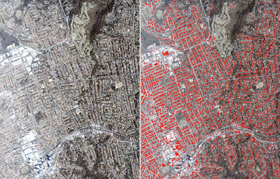
Satellite image analysis, deep learning, and geospatial AI on real environmental problems.
Research Internships

10-week, 240-hour mentored research projects for undergraduate, and graduate students
Hands-On Workshops

Year-round workshops for middle school through college students, using industry standard software.
Professional Workshops

Training for teachers and professors to bring geospatial technology into their own classrooms.
RESEARCH
Focus on Geospatial-AI Research
Satellites collect far more imagery than people can analyze. We combine machine learning, deep learning, and geospatial foundation models to turn that imagery into answers for climate change, urban heat, disaster management, and urban planning.
Our work with multi-spectral data and foundation models such as Prithvi helps cities test "what if" scenarios before making decisions.

Industry Collaborations
Collaborations with an Industry Consortium
The Research Internship Process is the jewel in the crown of the Center's success. Since 2018, 97% of interns have completed the program: only 2 withdrawals out of 71 interns at the high school, undergraduate, and graduate levels


Interns and Their Career Pathways
Many of our interns had never used geospatial technology before arriving. They leave with skills, publications, and confidence that open doors
Hear From Our Interns
Every intern presents their research in a short video as part of their final deliverables.
Upward Social Mobility
Many of our interns had never used geospatial technology before arriving. They leave with analytical skills, publications and the confidence to step into careers they had not imagined.

Other alumni have gone on to the NYC Department of Environmental Protection, NYC Department of City Planning, NYC Department of Health and Mental Hygiene, PhD study at the CUNY Graduate Center,
and graduate study in GIS and data science.
Research Internship Reports


Ten Years of BGCCCI: Geospatial Technologies for the Earth
The Bronx Community College Geospatial Center of the CUNY CREST Institute [BGCCCI] is a leading institution in New York City. The Center has been promoting scientific research and education in geospatial technology since 2014. Founded independently from the ground up by Dr. Sunil Bhaskaran, the Geospatial Center at Bronx Community College part of the CUNY CREST Institute is dedicated to advancing cutting-edge research, education, and workforce development in geospatial technologies. Our mission is to empower students and educators across the K–16 continuum through inclusive, interdisciplinary learning, hands-on training and scientific research. We strive to lead transformative research by fostering strategic partnerships with industry, government, and academia, creating an innovation ecosystem rooted in collaboration and impact. Through our programs, we aim to chart clear career pathways in geospatial science, promote equity and access, and shape the next generation of professionals driving solutions to global challenges.
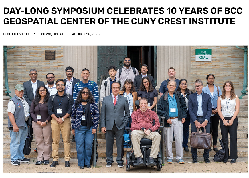


Geospatial-AI conference

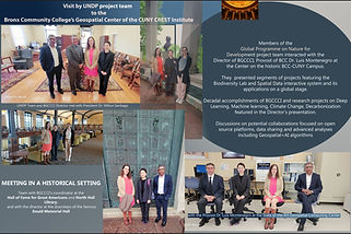
Guests at the Center


Dr. Sunil Bhaskaran
Founding Director, BGCCCI | Professor, CUNY (BCC & Graduate Center)
Dr. Sunil Bhaskaran is a geospatial-AI expert and the founding director of the Bronx Community College Geospatial Center of the CUNY CREST Institute. With over 25 years of academic and industry experience across Australia and the U.S., he specializes in urban scene classification, object detection, and feature extraction using multi-spectrum Earth Observation datasets. His interdisciplinary research leverages ensemble learning and neural networks to decode urban pixels and extract actionable GeoINT for scientific and policy applications. Sunil has led federally funded projects with NASA and NSF, developed geospatial curricula, and built strategic collaborations with industry, government, and academia. He serves on national and international advisory boards, including the U.S. EPA’s BOSC Executive Committee, and is a U.S. Fulbright Specialist (2025–2028). His work has impacted hundreds of students and educators, advancing geospatial technology and career pathways in underserved communities.

Our Team [Current]


Sindhuja Achutuni
BGCCCI and NASA Research Assistant, and Center Coordinator
Srewashi Mondal
NASA Research Intern
Meghna Rabba
NASA Research Associate
PAST
Shrey Vyas
NASA Research Associate
Isha Math
Research Associate


Zyva Aizal Hamid
NASA Research Intern
Manya Srivastava
NASA Research Intern
Shivam Joshi
BGCCCI Research Assistant
Ahmed Huossein
NASA Research Intern





Shachee Bhat
.jpg)
Janet Cheung

Vamshi Samudra

Hannah Kennedy
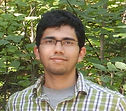
Aravind Sharma
Disha Anil
Manojkumar Venkatesan
Gabriel Nixon-Raj
Stuti Mishra
Jeevan

Andrella Collins

Leroy Brown

Meloryn Quezada

Hoatian Fang

Jacques Wilder

Arianna Boston-Hill

Hemwaitte Rampersuad